
A Beginner's Guide to Little Ashford's Saxon Origins: Reading the Village Landscape
Most people arriving in Little Ashford see the same four things: a church, a green, a pub and a scatter of cottages that look as though they have always been there. They have not. Underneath the comfortable surface is a settlement pattern that began to form well over a thousand years ago, and much of the evidence is still visible from ground level. You do not need a degree in archaeology to read it. You need a decent map, waterproof boots and a rough idea of what to look for.
Begin in the Churchyard
Churches are the oldest standing structures in most English villages, and they are rarely moved once built. That makes the churchyard the best single starting point, because whatever stood there first probably still has a shadow in the ground.
Look at where the building sits. A church on a low mound at the edge of the settlement, with ground falling away on two or three sides, is often an early site: an old enclosure reused, or a small Christian community that later grew a nave, then a tower, then aisles. If the church sits in the middle of a ring of houses, the village probably grew up around it. If it sits awkwardly at one end, the settlement may have shifted.
Features worth a second look
- Long-and-short quoins. Corner stones laid alternately upright and flat, like teeth. This is one of the most reliable signs of pre-Conquest work.
- Double-splayed windows. Small openings that widen on both the inside and the outside of the wall. Rare, and a strong early signal.
- Reused Roman tile or brick. Saxon builders helped themselves to whatever was nearby. Roman material in a church wall hints at an older site in the parish.
- A tall, narrow nave with later additions wrapped around it — the original core is often the smallest, plainest part of the building.
- A rounded or oval churchyard boundary. Suggestive, never conclusive, but worth noting on your map.
- An old yew. Ancient, yes. Reliably datable by trunk girth, no. Enjoy it without drawing firm conclusions.
Dedications are a softer clue. Names such as Cedd, Chad, Botolph, Oswald, Edmund and Helen point to early medieval devotion in this part of the country, while a very large parish with several dependent chapels often marks a former minster — a mother church serving a wide district before parishes were split up.
Place Names Are the Cheapest Clue
Field names and minor names survive on maps long after the people who coined them have gone. Most are Old English, and most are descriptive rather than romantic. Learn a dozen endings and the map starts talking.
- -ton, -ham — farmstead, homestead, village.
- -ley — a clearing in woodland.
- -field, -worth — open land, or an enclosure.
- -wick, -cot, -stead — a specialised farm, a cottage or shelter, a place or site.
- -ing, -ingham — the people of someone, or a group's settlement.
- -ford, -well, -hyrst — a crossing, a spring, a wooded hill.
Look for pairs. A "Little Ashford" with a neighbouring "Ashford" is common enough, and the two names may record an older estate that was divided. A field called Butts, Conigree or Longlands tells you how that ground was used or measured.
Reading the Fields
Stand on a footpath above the village and look at the shape of the fields. Long, narrow, curving strips, especially where they bend around a stream or follow the contour of a slope, are the ghosts of an open-field system. So is corrugated ground — ridge and furrow — which survives best under old pasture that was never ploughed flat.
Be careful with dates here. Most ridging you can still see is medieval rather than Saxon, and some of it is later still. What it shows is the working method: common arable land divided into strips, farmed in rotation, with headlands at the ends where the plough turned. Names such as Great Field, Church Field or Town Field on an old map usually mark the same ground.
Boundaries, Lanes and the Village Shape
Parish boundaries are among the most conservative lines in the landscape. They follow streams, hedges, ditches and sometimes long straight lengths that seem to have no reason at all. Some of those straight lengths are older than the parishes themselves.
Saxon charters often describe boundaries by walking them, naming landmarks as they go: the old ditch, the grey stone, the thorn tree, the meeting place. Those perambulations are among the earliest written English we have, and where a landmark still exists, it is a genuine link to the period. Lanes with a wide verge, or those that curve around the backs of plots rather than through them, hint at a plan that has been reworked more than once.
A Walk You Can Do in an Afternoon
- Print or download a large-scale map and mark the church, the green, the pub and every footpath.
- Walk the churchyard first. Sketch the building's outline and note any of the features above.
- Follow the oldest-looking lane to its end and note where it widens, bends or meets a field boundary.
- From a high footpath, look for strip shapes and corrugated pasture. Photograph rather than trample.
- Walk one parish boundary on the map, then check whether hedges, streams or ditches match it.
- Write down every field name you meet, even the dull ones. Dull names are often the oldest.
Stay on public rights of way, keep to the path across growing crops, and close every gate. Village landscapes are working places, not exhibits.
Where to Check Your Hunches
Your county record office will hold tithe maps and apportionments from around the 1840s and enclosure awards, both of which name fields and owners in detail. The Historic Environment Record lists known sites and finds. The Victoria County History and the English Place-Name Society volumes cover many parishes in depth, and Domesday Book, translated, will tell you whether your village was recorded in 1086 and who held it. Old Ordnance Survey editions, side by side, show what has changed in the last century or so.
Take photographs, keep notes with dates, and be honest about uncertainty. Landscape history is built from small observations made by many people, and a careful amateur with a notebook is a genuine contributor.
Make It a Habit
Saxon Little Ashford will not reveal itself in a single visit. It appears in fragments: a corner stone, a field name, a boundary that runs too straight. Walk the same route in winter when hedges are bare and in summer when they are not, and you will see different things each time. Start with the churchyard this weekend, take one field name home with you, and look it up. That is how the village starts to make sense.
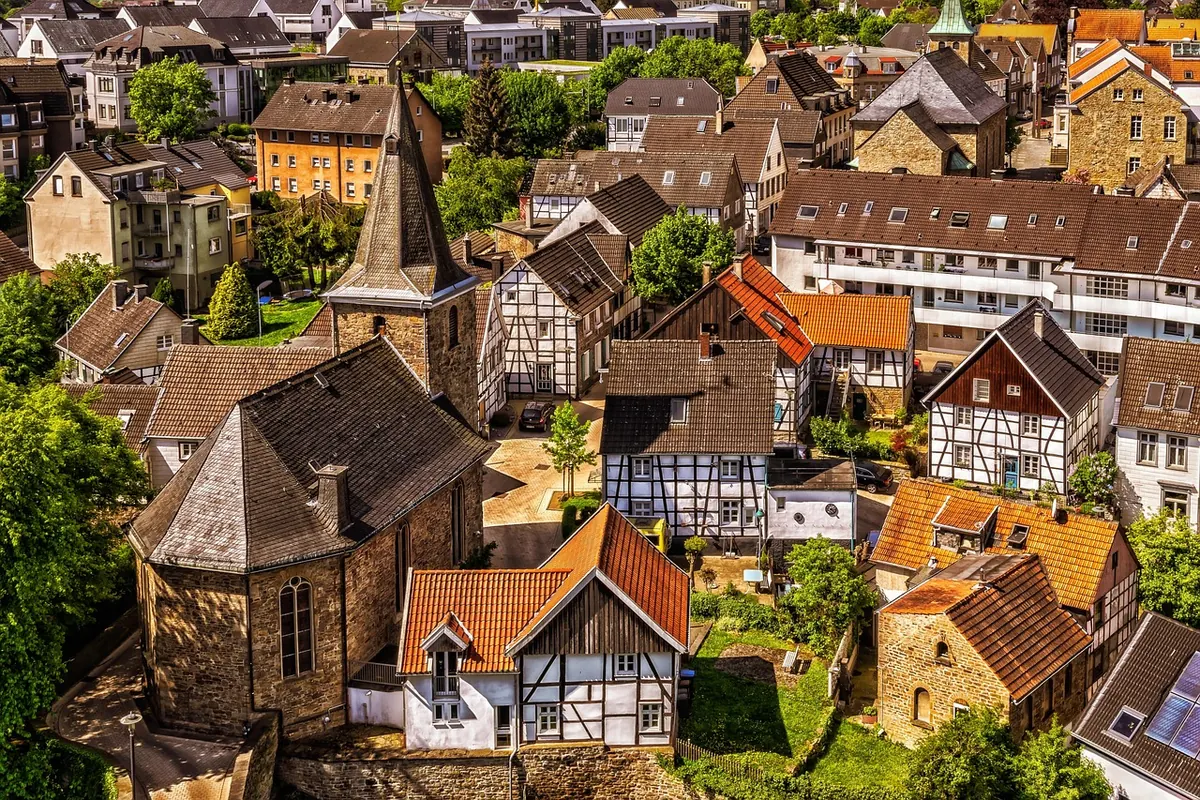
Photo: Tama66 / Pixabay